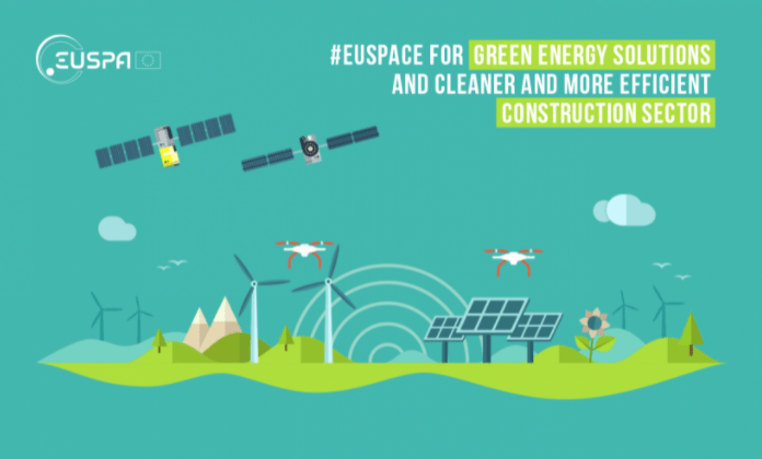
Copernicus, Galileo, and EGNOS, when working in conjunction or -as standalone systems- are key assets to implementing green energy solutions and to making the construction sector more efficient.
Decoupling economic growth from resource extraction and environmental degradation is at the heart of the EU Green Deal. Turning into clean forms of energy such as solar, wind and tidal power will enable the Union to curb emissions, transform Europe’s energy mix and thus reverse climate change.
Green infrastructures, such as solar panels or wind turbines are costly installations. They require monitoring to ensure their proper functioning and performance optimization. Often, natural hazards such as land subsidence, or landslides can negatively affect the operations of these infrastructures. That’s where EU Space kicks in!
#EUSpace supporting the use of green power
Satellite-based remote sensing from Copernicus is a cost-effective solution which keeps an eye on clean energy infrastructures, offering precious information on their integrity and targeted maintenance. Geospatial data by the EU’s Earth Observation system can also be used to enable better planning of these assets by offering greater situational awareness and help mitigate risks such as vegetation encroachment on power grids and turbines. Moreover, Copernicus can optimize the performance of tidal power generators, by offering data on the rise and fall of the tide through tidal currents prediction systems. Likewise, the Copernicus Atmosphere Monitoring Service uses information from satellites and its models to provide policymakers and solar industry companies, with quality metrics on sunshine or cloud coverage over specific areas. This helps the sector to better plan the installation of panels and thus to maximise their outputs.
The concept of smart power grids is gaining more and more momentum and electric utility companies are investing into them to reduce costs and optimise user experience and more efficiently manage their electric power networks.
Smart grid systems require precise timing and synchronization down to a nanosecond level and GNSS clocks are used as a prime source or as a backup time reference source in case of outages. Ultra-precise clocks onboard Galileo satellites can provide accurate time and frequency synchronization to smart grids making them more robust.
#EUSpace for a cleaner and more efficient construction sector
Population growth and urbanisation are pushing the boundaries for resource exploitation and are creating a huge demand for civil infrastructures such as buildings, subways, and train lines, bridges, dams, highways, and airports. According to the EUSPA market report, by 2025 83% of geomatics equipment used for cadastral surveying and construction applications will be GNSS-enabled. As of today, more than 80% of newly manufactured geomatics equipment and instruments use Galileo.
Both the construction sector and urban planning are directly benefitting from the EU Space Programme namely from the additional accuracy of Galileo and EGNOS which allows surveyors to accurately pinpoint structures and reference points. Copernicus offers high-resolution images to assess the state of civil infrastructure including dams, or pipelines and track water loss. What is more, Galileo and EGNOS-enabled drones can accurately and safely fly across points of interest and assess for example heat loss in buildings and facilities.
More information: EUSPA – News


Leave a Reply