Each of the CASSINI Prize for digital space applications winning applications leverages data and services from the EU Space Programme to detect, monitor and remove plastics and other litter from our oceans, waterways, beaches and coastal areas.
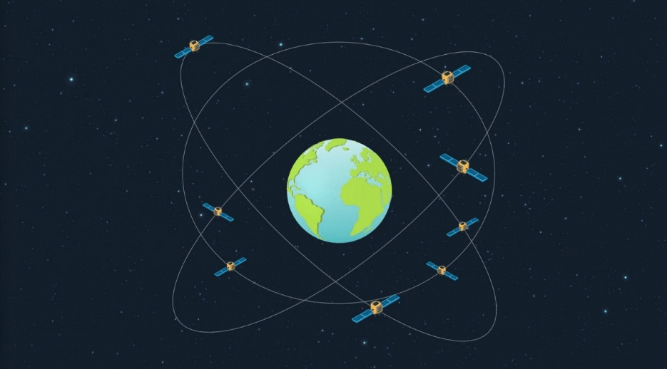
CASSINI is the European Commission’s initiative to support entrepreneurs, start-ups and SMEs developing innovative applications and services that leverage the EU Space Programme. Dedicated to promoting the commercialisation of Galileo, EGNOS and Copernicus data and services.
With a total prize purse of EUR 2.85 million, the CASSINI Prize for Digital Space Applications sought innovative commercial solutions that leverage Copernicus, Europe’s Earth Observation programme;
Galileo/EGNOS the EU satellite navigation systems– used in combination with other data sources – to track and remove marine plastic pollution. Because the contest aimed to create a new ecosystem of entrepreneurs, applications were limited to SMEs having a close-to-market solution.
After a rigorous review process and a challenging demonstration requirement where applicants had to prove their solution’s effectiveness in real-world conditions, the European Commission together with the EU Agency for the Space Programme (EUSPA) announced the winners during the EU Space Week 2023 in Sevilla, Spain.
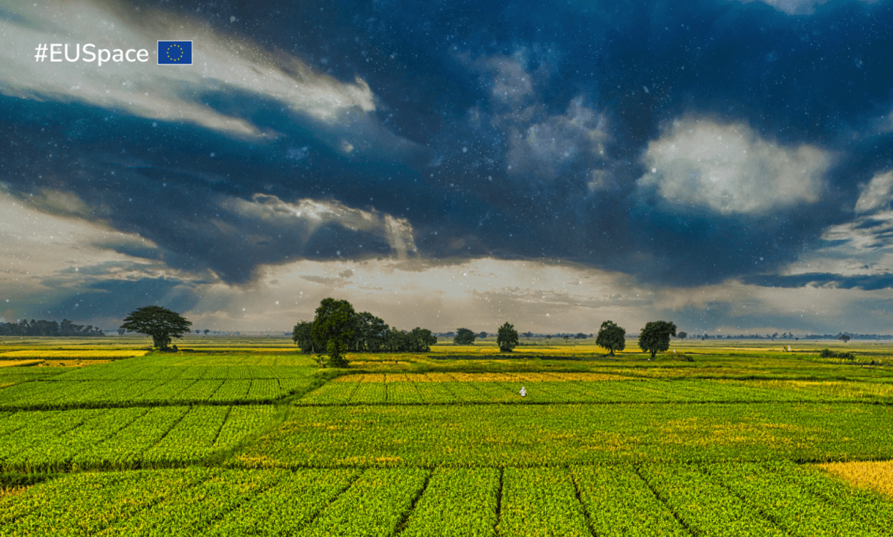
10 ways EU Space helps fight global hunger
|
The winners
Coastal Marine Litter Observatory by SCIDRONES : Using an innovative combination of Copernicus data with high-resolution drone imagery and advanced AI-algorithms, this application helps differentiate between plastic pollution and natural debris sources such as driftwood and seaweed. Local authorities can use the application to guide their cleanup operations, allocating resources to those beaches and environments most affected by plastic pollution.
Eyes on Plastic by EOMAP: This data-driven web app combines Copernicus Sentinel-2 optical imagery and commercial optical satellite imagery, on-site cameras, cloud-based big data processing chains, Earth Observation analytics and crowdsourcing to identify, map and monitor plastic pollution in near real-time. The solution hopes to help governmental stakeholders meet their mandates for managing and reporting plastic pollution, including that found in rivers.
Ocean Plastic Alert and Tracking by GEOMATYS
Combining satellite images with meteorological and oceanographic models, this application is designed to detect debris at sea from space and predict its drift. By coupling ocean current and wind models with satellite observations, the solution can make forecasts both forward and backward in time. This allows coastal authorities to locate and predict where the front of plastic and debris is after a major weather crisis that causes navigational safety issues. It also optimises the collection of debris in collaboration with, for example, fishing boats.
All three winners received a EUR 950,000.00 cash prize, which will be used to further develop, scale up and, ultimately, give the real push for the commercialisation and promotion of their applications.
More information: EUSPA
Publicaciones relacionadas:
 Building a sustainable future with the power of #EUSpace
 Leading EU initiatives to preserve the oceans
 How the European Union contributes to the protection of the oceans
 Complex network of European and global developments impacts sustainability
 Europe’s resilience: halting biodiversity loss and building a healthy and sustainable food system
Leave a Reply