Artificial intelligence-based environmental monitoring tools that strengthen water management capabilities could bring benefits to many regions.
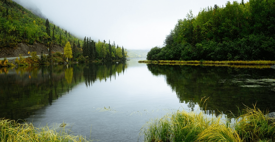
Surface water systems, such as rivers, lakes and reservoirs, are under increasing pressure due to climate change, pollution and overuse. In many regions of the world, especially those with limited monitoring infrastructure, there is a lack of timely, reliable and actionable data for decision-making on water quality and availability. The EU-funded SWIM(opens in a new window) project was launched by the European Union Agency for the Space Programme(opens in a new window) (EUSPA) in November 2024 to address this urgent need. The consortium aims to integrate Earth observation data from the Copernicus satellites with internet-of-things sensors and artificial intelligence-based analytics to provide an accessible and automated surface water information platform.
US expertise in cloud computing meets Europe’s dynamic space industry
To achieve this, the project brings together experts from both sides of the Atlantic. The consortium includes partners from the European Union, the United States and Colombia. “Our US partner Rayner Software offers us access to their expertise in cloud computing and decision support systems,” explains Jacek Gruszka, SWIM project coordinator at Offshore Monitoring(opens in a new window) in Cyprus. “They provide cutting-edge functionality in back-end data infrastructure and software development for real-time environmental applications. Rayner Software began developing its Orbiter application in 2020. It leverages the vast amount of data collected by the Copernicus programme to offer the public a new view of our planet. “We were honoured to win the European Space Agency’s Copernicus Masters award for it in 2021,” says Tyler Rainer of Rayner Software. “That opened up a new world of collaboration with the vibrant European space industry, which continues with SWIM. Each project member brings their own passions and viewpoints to the common goal of understanding our planet’s most important resource: water.” The project will also leverage local knowledge and access on the ground in Colombia for the pilot deployment, as well as Europe’s scientific and applied expertise in hydrology, Earth observation and systems engineering.
Actionable information thanks to artificial intelligence
The finalised platform, based on the WAMO (Water Monitoring) technology developed by one of the partners (e.Ray), will include three core analytical modules, covering water quality, water balance and natural disaster risk. The aim of the system will be to provide continuous and accurate data on various ecological parameters, such as water quality and algal blooms, as well as to predict future conditions and assess risks related to surface water (such as floods and droughts). “This information will be provided in the form of actionable information through an artificial intelligence-based decision support system with user-friendly visualisation and alerting functions,” Gruszka adds. “The aim is to equip local authorities and stakeholders with better data for surface water management.” The project, which is scheduled for completion in April 2026, is already well advanced in several areas. The process of ingesting in situ and Earth observation data, which forms the technical basis for monitoring, has been defined. A detailed dissemination and exploitation plan is also in place to guide stakeholder involvement.
The Little Blue Dot
Next steps include deploying the first artificial intelligence models, launching pilot tests with WAMO sensors in Europe and Latin America, and collecting user feedback to further refine the system. “The project has already benefited greatly from the diversity of perspectives and knowledge across continents,” says Gruszka. “Cross-border collaboration is proving to be both technically enriching and culturally valuable. We are witnessing strong mutual engagement and learning, especially around adapting Earth observation applications to different geographical and governance contexts.” Rainer agrees. “When people with different backgrounds and experiences come together in a team, new perspectives and resources are discovered,” he says. “That expanded view of the Earth is unifying and reminds us of that tiny blue dot we all live on. I like to think of our project as a small ‘international mini-space station’, carrying the flags of many nations, but all under the unifying banner of humanity. The success of the project will ultimately be measured by improved water governance through better data, early warnings of environmental risks such as algal blooms and flooding, and cost-effective monitoring solutions for regions with limited infrastructure. In doing so, the SWIM project team will make a valuable contribution to the UN’s Sustainable Development Goal 6, which focuses on ensuring access to water and sanitation for all.
More information: CORDIS
Publicaciones relacionadas:
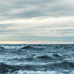 Global ocean conservation treaty enters into force
 Building urban resilience to climate change
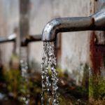 Zero pollution: Improved quality and access to drinking water
 European Council adopts regulation on CO2 emissions from new passenger cars and vans
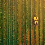 Agroecology: 14 EU-funded projects that are helping to shape the future of agriculture
Leave a Reply